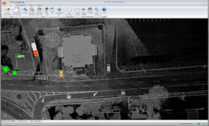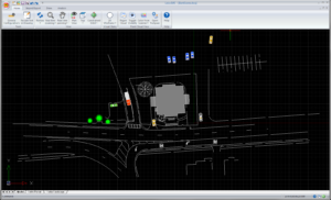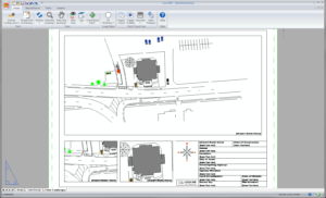
A desktop software solution to import, process, analyze, visualize, and create courtroom ready documents from field data collected using LTI’s QuickMap® 3D!
 Data Into Diagram
With data collection software such as QuickMap® 3D for Android® or iOS®, Evidence Recorder or Leica® Captivate, easily turn your data into diagrams.
Validate and Analyze
Easy import options and built-in tools help examine evidence and data collected at a scene to determine important measurement-based factors necessary for court.
 Simple or Advanced
Flexibility and multi-sensor support make Map360 productive and scalable to your agency’s needs. Enter scene measurements manually or import them from advanced mobile mapping systems.
Map360 Specifications
Supported Operating Systems
Microsoft® Windows® 10, 8.1, 7 (SP2), or Vista® (SP1) – any edition, 32-bit or 64-bit
Minimum Hardware Required
Intel® Pentium® 4 or comparable faster processor
2 GB of RAM minimum (4GB recommended)
10 GB of free hard drive space
Minimum screen resolution of 1024 x 768 VGA with video adapter
Graphics Card
Graphics card compatible with OpenGL® Version 1.4 or higher (a compatible video card is required for the 3D rendering)
This CAD program is available as part of a complete LTI mapping kit!
To learn more about IMS Map360, visit: http://ims.leica-geosystems.com/map360