Crash / Collision Mapping
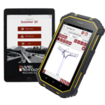
The need to rapidly clear a traffic scene is top priority for law enforcement. The danger of secondary crashes and the high-cost of closed roadways require investigators to map a scene as efficiently as possible. LTI’s QuickMap® 3D system is the optimal data collection solution for crash reconstruction experts who want to accurately map and clear a scene as soon as possible.
 Measure Anything
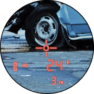
Receive more flexibility on scene with LTI’s reflectorless measurement technology. Individually acquire or use the two-man prism pole procedure to gather measurements directly to evidence or surrounding landmarks.
 Map Quicker and Increase Safety
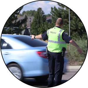
Clearing the scene faster reduces major costs to the city and minimizes the chances for a secondary traffic crash. With LTI’s QuickMap® 3D system, you can set up and start mapping within two minutes after arriving on-scene.
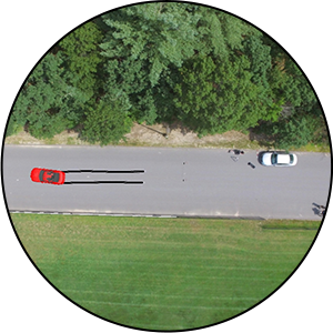 Complement Drone Data
Map your control points and other points of evidence on the ground with LTI’s QuickMap® 3D kit and overlay those points on top of your drone’s aerial photos and data set to verify your accuracy.
Recommended Lasers / Data Collection
Get straight to the point with QuickMap® 3D, the world’s first data collection app for Android® smartphones or tablets.
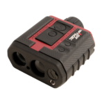
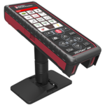 TruPoint™ 300 Laser
Provides red-dot or 1-4X camera aiming and is ideal for capturing indoor measurements for close-proximity scenes
Provides 7X optics for through-the-scope aiming and is ideal for outdoor scenes.
